
While hunting, navigation has always played a critical role. Successfully locating prey and returning safely are critical aspects that depend largely on one’s ability to traverse the surrounding terrain. For hunters, navigation extends beyond merely reaching a particular destination, it also impacts the ability to track game efficiently, move stealthily in the wilderness, and plan a safe route of return. In the wake of technological advancements, traditional navigation tools have been replaced by more accurate and efficient methods, making the job easier and more successful for hunters.
In modern times, technology has revolutionized hunting with the introduction of GPS and mapping software. The advent of GPS (Global Positioning Systems) has helped hunters locate themselves accurately in the wild, enhancing safety and efficiency. Mapping software, on the other hand, presents a detailed view of the terrain and helps hunters plan their moves strategically. The amalgamation of these tools in a hunt app has largely eliminated the chances of getting lost, thereby allowing hunters to focus more on the hunt and less on navigation. This article will explore the ins and outs of these technologies and how they have changed the face of hunting.
History of Navigation in Hunting
In ancient times, methods of navigation in hunting were largely relegated to natural signs, landmarks, and a keen sense of direction. Hunters would observe the flight paths of birds, the behavior of certain animals, and the direction of water flow to guide their hunting expeditions. They would also use landmarks like distinctive trees, mountains, or uniquely shaped stones as navigational aids. Another component of traditional hunting navigation was the compass. Despite its simple design, the compass has been an invaluable tool for centuries, providing hunters with directional bearings and aiding in maintaining a straight path in dense forests or barren climates.
The transition from these traditional methods to modern navigation techniques was gradual, influenced mainly by technological advancements. As human beings began developing more sophisticated technology, the tools and methods used for navigation saw major improvements. Technological inventions such as the compass enhanced accuracy and brought about methods less dependent on physical landmarks or natural signs. With the advent of satellite technology, hunters began using GPS units for navigation. Even more recently, software mapping has taken over, providing detailed maps and terrain features right at the hunter’s fingertips.
Understanding GPS
Global Positioning System, commonly known as GPS, is a tool that revolutionized hunting by providing precise location information anywhere on Earth. The system operates through a network of 24 satellites in space and their ground stations. At its core, GPS works on the principle of triangulation. It requires the signal from at least three satellites to accurately compute a position, while the fourth one is used to account for any timing errors. In a hunting scenario, a GPS receiver uses this information to provide the hunter with their exact geographical location, altitude, and usually the accurate time.
The benefits of utilizing a GPS in hunting are multifold. It allows a hunter to travel through unfamiliar territories with confidence, eliminating the fear of getting lost. It also helps in marking the locations of trails, game sightings, or successful shots, aiding in tracking and retrieval. A hunter can also mark danger zones or obstacles to avoid potential hazards. These marked waypoints can be saved and shared with other hunters or revisited in future expeditions, adding to convenience. Undeniably, GPS has transformed the way hunting is performed, enhancing safety, efficiency, and effectiveness.
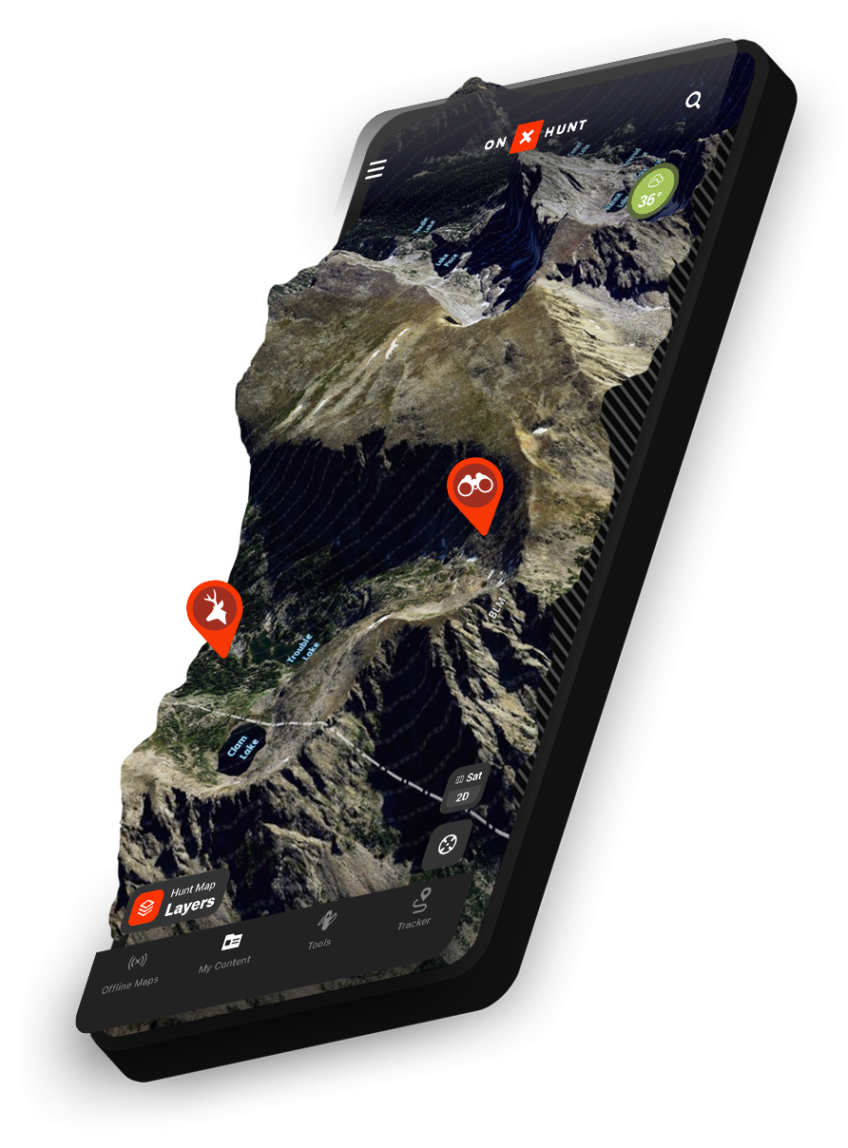
Using GPS and Mapping Software for Hunting
Using GPS and mapping software for hunting starts with choosing the correct tools to suit your needs. There are numerous GPS devices and hunting applications available that cater to different types of hunting scenarios. Once you’ve selected and downloaded a hunt app or purchased a GPS device, familiarize yourself with its functions, settings, and features. Enter your location into the device or app and check if it correctly displays your coordinates. Understanding how to zoom in and out, switch between satellite and topographic views, or how to set waypoints will be helpful in the field.
Using mapping software typically involves marking out your starting points and potential targets or areas where the game is likely to be found or has been sighted before. With a hunting app, for example, you can use GPS features to track your movements, marking waypoints as you go. Use these features to pinpoint locations such as trail heads, food plots, game trails, or tree stands. Also, mark your vehicle’s location so you can easily return. As much as GPS and mapping software can enhance your hunting experience, the key to successful use lies in practicing with these tools ahead of time and familiarizing yourself with their functionalities and capabilities.
Navigation is a vital aspect of hunting made considerably easier by modern technologies such as GPS and mapping software. These tools not only enhance the hunter’s efficiency but also ensure their safety, making them indispensable in modern hunting.